Outdoor Activities
Hawke's Bay Cycle Trails: Routes, Maps, and Planning Your Ride
Updated 18 October 2026
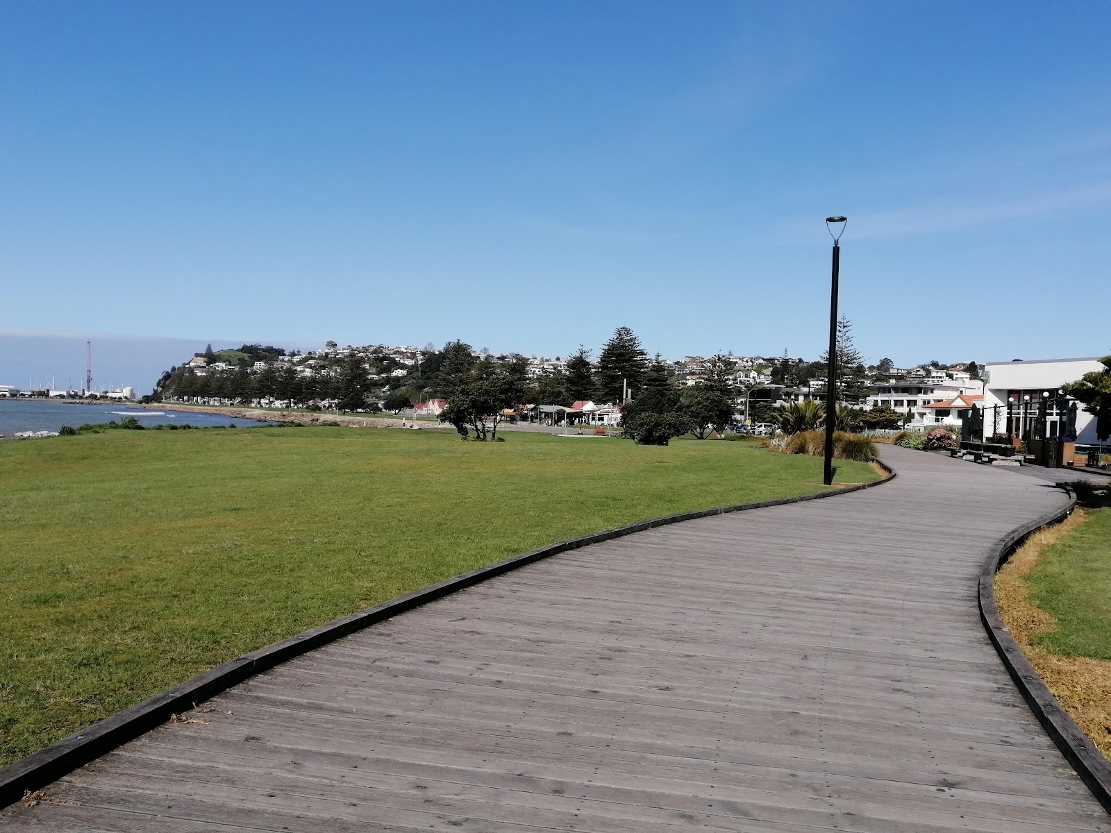
When planning a cycling getaway in New Zealand, the Hawke's Bay cycle trails stand out as an exceptionally approachable and varied network. Recognized as one of Ngā Haerenga's 23 Great Rides of New Zealand, this extensive system encompasses nearly 200 kilometres of dedicated cycling and walking routes, forming the largest network of easy off-road cycle trails in the country. Whether you want a relaxed half-day outing along the coast, a scenic path between vineyards, or a multi-day tour linking coastal communities and river valleys, understanding how the trails connect makes all the difference.
Understanding the Hawke's Bay Trails Network
The network is categorized as a Grade 1 and Grade 2 ride under New Zealand's trail standards. In practice, this means the routes are overwhelmingly flat, safe, and built off-road. According to the New Zealand Cycle Trail, the designated Great Ride route covers 177 kilometres—typically ridden over one to four days—with an itinerary breakdown of roughly 82% easiest riding, 12% easy, and only 6% intermediate. The gentle terrain makes the Hawke's Bay bike trails accessible to casual day-trippers, family outings, and touring cyclists alike.
The surface along most of the hawkes bay cycle tracks consists of smooth, wide, packed limesand paths. Because the gradient is minimal and the surface is consistent, the network is well suited for pathway bikes, standard touring setups, mountain bikes, and electric bikes. Unlike rugged backcountry singletrack, these hawkes bay cycle routes prioritize relaxed sightseeing and open vistas.
Geographically, the trail network stretches from Bay View in the north, wraps along the coastline through Napier down to Cape Kidnappers in the south, and loops inland across the plains toward Hastings and Havelock North. The overall system is arranged into three signature themed experiences, allowing riders to choose paths that match their preferred scenery.
The Three Key Trail Experiences
Rather than presenting one continuous, rigid line, the Hawke's Bay trails are designed around three distinct regional flavours: The Water Ride, The Wineries Ride, and The Landscapes Ride. Riders can pick an individual loop for an easy morning or connect all three over several days.
1. The Water Ride
As the name suggests, The Water Ride focuses on coastal horizons, tranquil estuaries, and wide river corridors. Cyclists trace ocean pathways along the Pacific shoreline, skirting Napier's waterfront and continuing out toward tranquil coastal wetlands and riverbanks. Highlights include cruising past Perfume Point near the Ahuriri harbour entrance and following coastal paths toward Bay View. With almost entirely flat grades and sea breezes, this route offers straightforward navigation and steady pedalling.
2. The Wineries Ride
Often sought after as a dedicated Hawke's Bay wine cycle trail, this section winds inland across the river plains and sheltered agricultural flats. Hawke's Bay is celebrated as a Great Wine Capital of the World, and this ride threads past fertile vineyards, orchards, and cellar doors. Because the paths remain mostly off-road and separated from road traffic, it allows cyclists to experience the rural landscape at an unhurried, gentle pace while enjoying the region's warm climate.
3. The Landscapes Ride
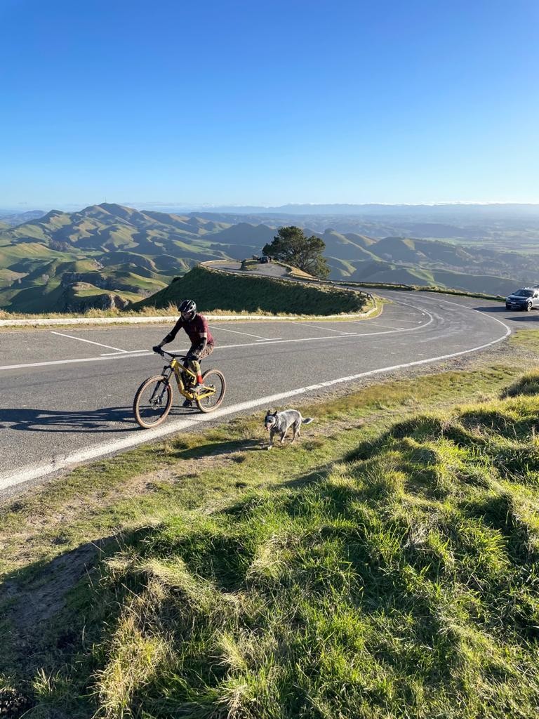
The Landscapes Ride delivers expansive rural views, stretching toward dramatic natural landmarks such as Cape Kidnappers and the prominent profile of Te Mata Peak. While the vast majority of the network is flat, the Tukituki Loop within this section is the primary place where riders encounter rolling terrain and a few modest hills. The reward for the extra effort comes in sweeping panoramas over the Tukituki River valley and the surrounding hill country.
Finding Maps and Navigating the Routes
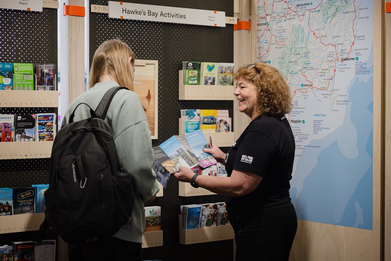
Planning your journey is made easy thanks to comprehensive navigational resources available before and during your ride. Visitors looking for a hawke's bay cycle trails map can access digital, interactive route updates and downloadable resources directly on the official Hawke's Bay Trails website (hbtrails.nz) and through the Hawke's Bay Regional Council. These official maps clearly outline open connections, link pathways, and detours.
For on-the-go wayfinding, riders frequently use mobile applications such as the Great Rides app, which provides offline GPS tracking across the network. If you prefer physical navigation, regional visitor information centres—including the Napier isite Visitor Information Centre on Marine Parade—stock printed trail guides and maps. Checking current route maps is always recommended before setting out, as local councils periodically perform maintenance and upgrades across sections of the network.
Bike Hire and Practical Logistics
Hawke's Bay has a well-developed cycling infrastructure, meaning you do not need to bring your own bicycle to explore the region. A range of established operators provide rentals, self-guided itineraries, and guided options tailored to all experience levels. Local bike hire providers include Coastal Wine Cycles, Napier City Bike Hire & Tours, On Yer Bike Hawke's Bay Ltd, and Tākaro Trails Cycle Tours.
Depending on where you choose to stay, there are multiple convenient pickup points and staging areas. For example, Tākaro Trails Cycle Tours operates hubs at 9 Nelson Quay in Ahuriri and at 24 Marine Parade in Napier City. These locations make it straightforward to step right onto the seaside trails shortly after hiring your gear. Standard pathway bicycles, hybrid touring bikes, and e-bikes are readily available across hire businesses.
Integrating cycle journeys with regional transport is also simple. The off-road paths connect seamlessly with urban commuter routes, such as the Napier and Hastings iWay networks, making it feasible to pedal between town centres and trail access points. Additionally, local public buses running between Hastings and Napier are equipped to carry bicycles, offering a practical backup option if you decide to ride one way and return by public transport.
Tips for Planning a Smooth Ride
- Choose the Right Route Length: Because routes range from gentle 30-minute shoreline spins to full 177 km itineraries spanning several days, match your daily distance to your fitness level and your planned stops.
- Check Trail Alerts: Before setting off, consult the Hawke's Bay Trails official website for the latest maintenance alerts or temporary diversions.
- Pack for Sun and Hydration: Hawke's Bay enjoys high sunshine hours and a warm climate; carry adequate water, sun protection, and a lightweight layer for coastal sea breezes.
- Consider E-Bikes for Longer Distances: While the terrain is mostly flat limesand, an e-bike can make multi-section rides and the rolling inclines of the Tukituki Loop effortless for riders of varying stamina.
With its wide, flat paths, distinct themed experiences, and reliable transport links, the Hawke's Bay bike trails offer one of the most accessible and rewarding cycling networks in New Zealand. Taking the time to select your routes, download the trail maps, and arrange suitable bike hire ensures a smooth and memorable ride across the Bay.
Cover photo: Perfume Point - Kathie Ritchie
By Alyssa.
Sources and further information
- Hawke's Bay Trails | New Zealand | OFFICIAL WEBSITE
- Cycling in Hawke's Bay | Hawke's Bay Trails | MTB | Hawke's Bay Tourism
- Hawke's Bay Trails | Hawke's Bay Regional Council
- Find Your Ride
- Hawke's Bay's Best E-Bike Hire » Bike Tours » Tākaro Trails
Sources checked: 2026-10-18.